How Do Satellites Help Us Understand Earth's Climate?
4 min read / 2026-08-27
Satellites orbiting Earth continuously measure things like sea levels, clouds, and land cover, building long-term records that reveal how the planet is actually changing over decades.
What it means
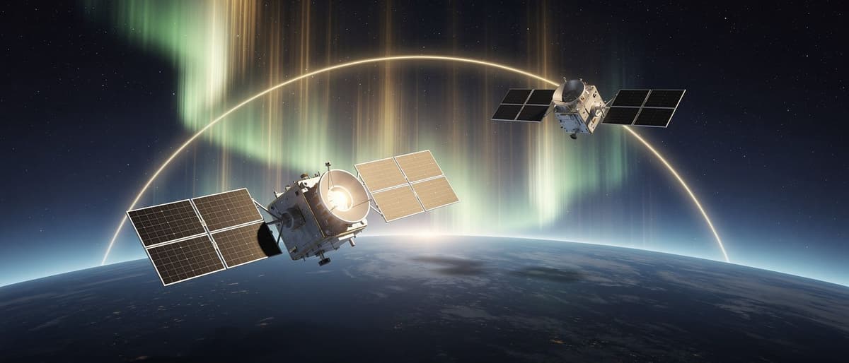
An Earth-observing satellite is a spacecraft that circles the planet while pointing instruments back down at it, instead of out into space. These instruments act like cameras and sensors, capturing data on oceans, ice, forests, air, and clouds. Agencies like NASA and India's ISRO run fleets of such satellites, each built to watch specific things day after day, year after year.
How it works
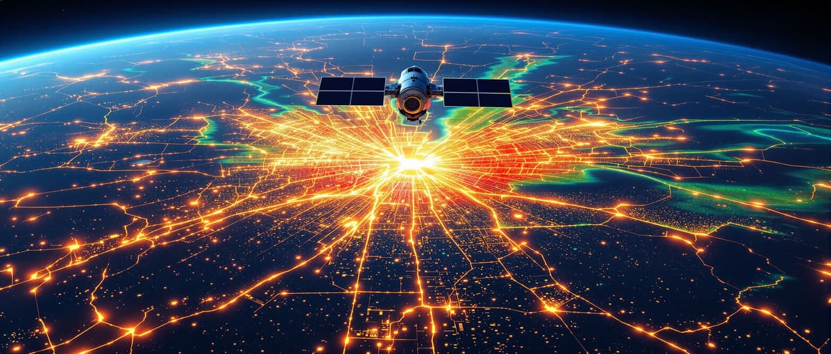
Most Earth-observing satellites travel in predictable paths, either circling near the poles to scan the whole globe over time, or hovering above one spot to watch it constantly. Their sensors detect visible light, heat, or radar signals bouncing off Earth's surface and atmosphere. This data is beamed down to ground stations, processed into images and numbers, and stored so scientists can compare today's readings with data from years or decades earlier.
A simple example
Think of checking your bank balance once a year versus checking it daily on an app. A single yearly check might miss a big dip in between. Similarly, if a satellite tracking sea-ice went silent for even six months, scientists would miss whether ice melted unusually fast or slow during that gap, making it harder to know if a long-term trend is real or just normal variation.
Why people talk about it
Governments, farmers, and disaster agencies rely on satellite data to plan ahead. In India, IMD and ISRO satellites help forecast monsoon rainfall, track cyclones, and monitor crop health, directly affecting farming decisions and disaster warnings. Globally, uninterrupted satellite records are the backbone of climate science, since they let researchers separate short-term weather noise from genuine long-term shifts, which matters for policies on emissions, coastal planning, and water resources.
What to remember
Satellites are essentially long-term, automated observers of Earth from space, and their real power comes from consistency, not a single snapshot. A single photo says little, but decades of unbroken readings reveal real change. That's why space agencies plan new missions years in advance, ensuring one satellite's retirement doesn't create a blind spot before its replacement is ready.
Key words
Earth-observing satellite
A spacecraft in orbit that uses sensors to measure conditions on Earth's surface, oceans, or atmosphere.
Polar orbit
A satellite path that passes near Earth's poles, allowing it to scan the whole globe as the planet rotates beneath it.
Geostationary orbit
An orbit where a satellite stays fixed above one point on Earth, useful for continuous monitoring of that area.
Key facts
- 1Satellites orbiting near Earth's poles can scan the entire globe every day or two as the planet rotates beneath them.
- 2ISRO's satellites support Indian weather forecasting, disaster warnings, and agricultural monitoring across the subcontinent.
- 3Geostationary satellites hover above one fixed point on Earth, useful for constantly watching weather systems like cyclones.
- 4Earth-observation data is often shared freely by agencies like NASA, enabling researchers worldwide to study the same records.
- 5A single satellite mission can take years of planning and building before it ever launches into orbit.
Why it matters
Reliable satellite data underpins decisions on farming, disaster response, and climate policy, so understanding how satellites work explains why keeping their records unbroken is so important.
Sources
- NASA Earth Observatory
- Indian Space Research Organisation (ISRO)